Water
Polo's remnants to soak Colorado midweek as flood risk eclipses snow chances
Forecasters say a tropical moisture-fueled system will bring heavy rain Wednesday, with flash flooding the main threat and mountain snow chances below 30 percent.
DENVER

A deep area of low pressure developing over the Southwest will trek eastward into Colorado around midweek and tangle with Polo's tropical remnants. Polo made landfall over southern Baja California on Monday before weakening over Sonora, according to the National Hurricane Center via BoulderCAST. Forecasters describe the setup as high-impact but low-confidence: where the surface low develops and how Polo's moisture wraps around it will decide who gets soaked and who stays mostly dry.
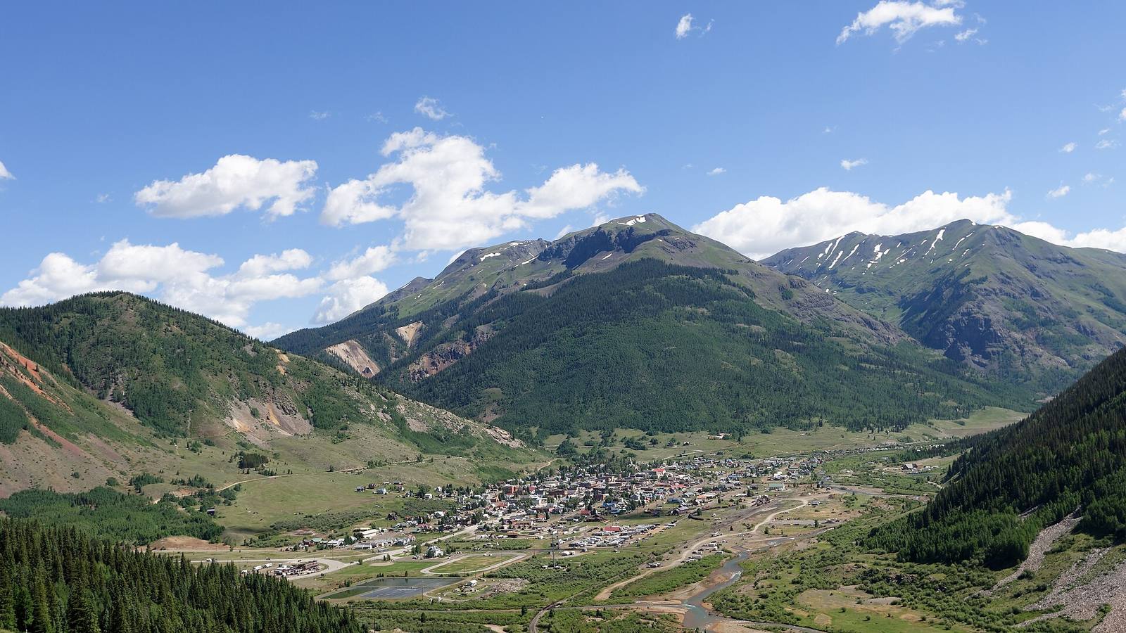
The Weather Prediction Center has a Level 3 moderate risk of excessive rainfall across southern Colorado from Monday through Wednesday, with a Level 2 slight risk reaching the Denver metro area, primarily southeast of the city, on Tuesday and Wednesday, BoulderCAST reports. A Flood Watch is in effect from Monday morning through Wednesday morning for the Animas River Basin, the northwest and southwest San Juan Mountains, the Uncompahgre Plateau, Dallas Divide, and the Four Corners area, according to the Rocky Mountain Journal. Communities named in the watch include Telluride, Ouray, Silverton, Pagosa Springs, Durango, and Cortez.
The Flood Watch warns of flooding over burn scars, at low-water crossings, and along creeks and washes, with unpaved roads possibly becoming muddy and impassable. BoulderCAST notes the irony: much of Colorado is in significant drought, so a soaking rain would help, but rainfall this heavy can overwhelm arid soils, particularly on nascent burn scars and in areas of southern Colorado that have already seen recent heavy rain.
The heaviest rain is favored across the south. BoulderCAST cites ensemble guidance showing 1 to nearly 3 inches across central and southern Colorado, with the largest amounts in the southwest mountains and near the New Mexico border; the forecaster notes this particular run is on the wetter side of the guidance and those numbers should not be interpreted as a precise forecast. For Denver, BoulderCAST's best guess is 0.25 to 2 inches of rain, highest southeast of the metro, though some model runs keep the heaviest rain south of the city entirely.

Snow levels will stay unusually high in the tropical air mass. Only the highest peaks above about 12,000 feet could pick up several inches of wet snow, in the San Juans and Sangres, and even that depends on colder air arriving Wednesday afternoon into Thursday morning. For mountain passes and communities, this will be a rain event. No forecast source the Journal reviewed called for meaningful accumulation at any Colorado ski area.
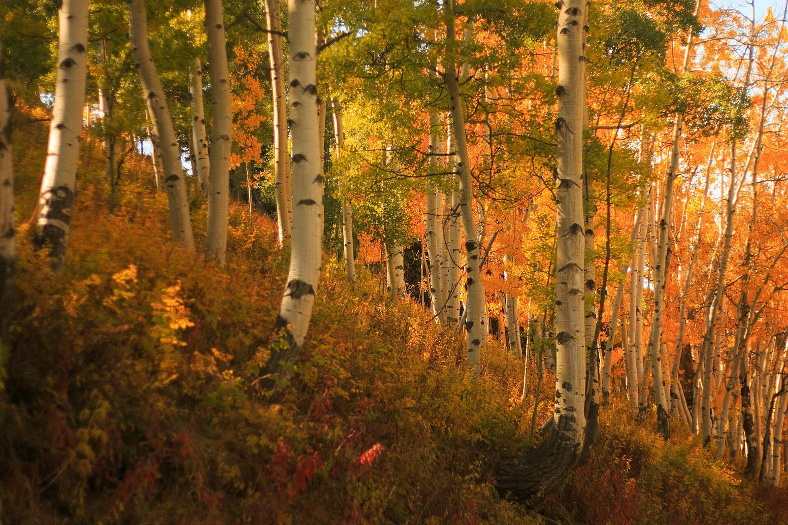
On the roads, slush and reduced visibility are the main risks on the highest passes, but water and debris over roadways are the bigger threat in the San Juans, including near recent burn scars; the Journal advises drivers to check cotrip.org before heading into the southwest mountains. For leaf-peepers, rain and wind could strip aspens in some areas this week.
The low should weaken and shift out of southeastern Colorado by Friday, with drier air returning Thursday afternoon. Friday looks like the week's nicest day, with highs in the 70s under sunshine, and a blocking ridge should favor generally warm and dry conditions into the weekend. Longer-range ensembles keep temperatures near or below seasonal averages over the next 10 days, the Journal reports.