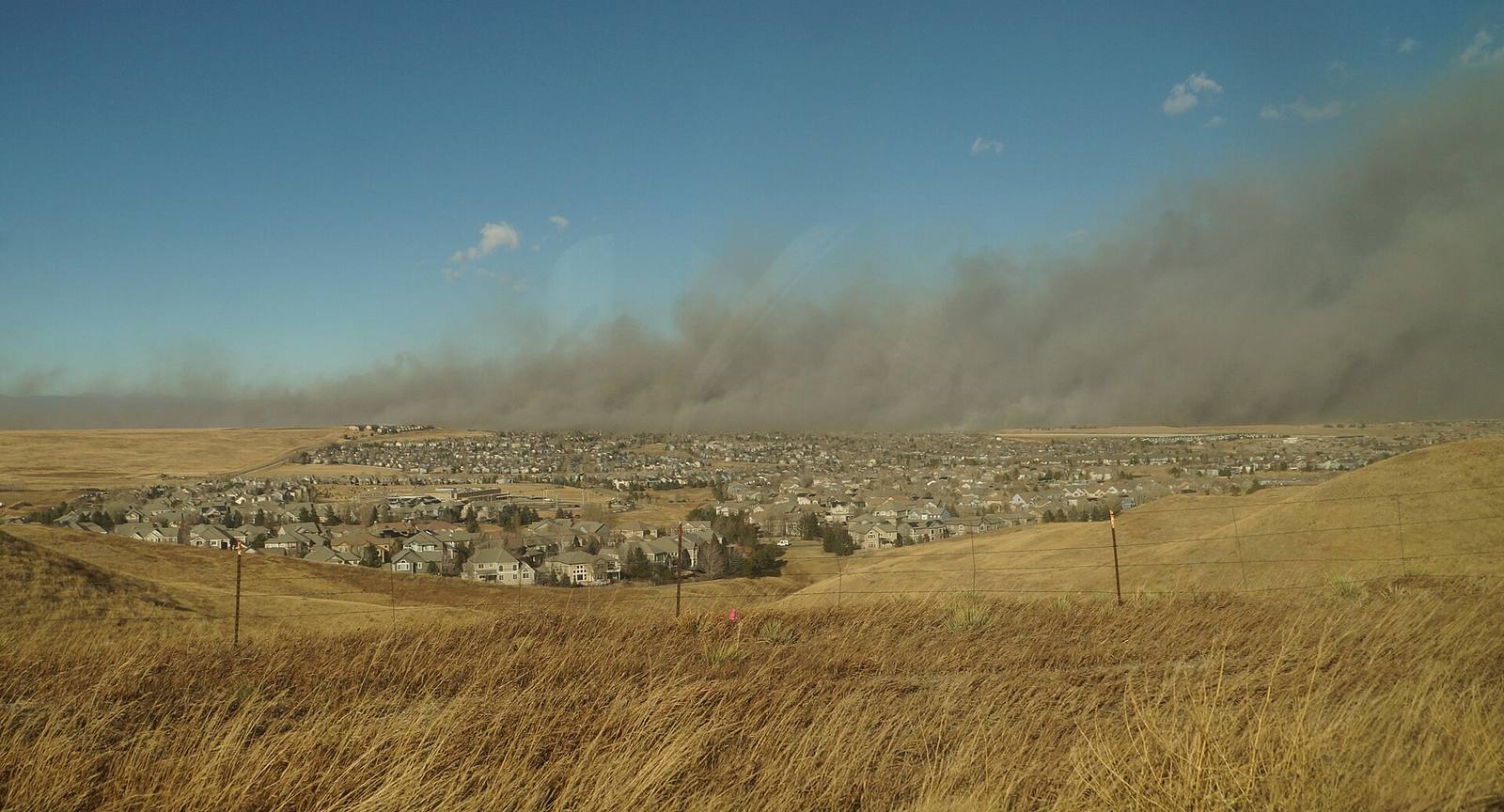
Wildfire
Investigators: wind-toppled aspen tree on power lines sparked the Aspen Acres Fire
A state origin report obtained through an open records request says an aspen tree blown onto energized conductors west of Highway 165 ignited the fire that destroyed 324 homes.
RYE

More than three months after it ignited, the Aspen Acres Fire has an official cause. Investigators with the Colorado Division of Fire Prevention and Control determined that the blaze began after an aspen tree was blown over in high winds and contacted energized power lines west of Colorado Highway 165, according to a report obtained by the Pueblo Chieftain through an open records request and published Oct. 12.
The investigation, led by DFPC investigator Josh Dreher with U.S. Forest Service investigator Earl Huie, placed the origin about 200 feet west of Highway 165, southwest of the highway's intersection with Custer Drive, shortly before the fire was first reported at 5:39 a.m. on June 29. A series of utility poles carrying conductors runs through the general origin area, Dreher wrote.

According to the report, the tree was uprooted at its base in the wind and came to rest on the conductors. The energized lines heated the tree bark and nearby vegetation to the point of combustion, and investigators observed melted aluminum beneath the contact point, which the report says should also be considered a contributing factor in the ignition. Dreher wrote that "fire effects, fire patterns, and an aspen tree resting on conductors, indicated the fire originated in this area."
The report identified the high winds as a significant contributing factor in the fire's rapid spread. That matches the fire's first day: the Prowers Journal reported winds measured at 80 to 100 mph hampered any containment effort on June 29 as the fire grew past 23,000 acres by late afternoon and forced widespread evacuations around Beulah, Rye and San Isabel.

Witness accounts in the report describe the fire's first minutes. One resident told investigators he woke around 5:30 a.m. to flickering lights as his generator kicked on, smelled smoke, and took a call from a neighbor who had also seen smoke south of the Aspen Acres Campground on the west side of Highway 165. By the time the man drove to the Highway 165 and Custer Drive area, he saw fire and smoke in the tree line along the power lines, and the fire had already spotted across to the east side of the highway. The Rye Fire Department was dispatched at about 5:39 a.m. and was the first agency to respond.
Investigators also examined a second location near the end of Silvercliffe Drive, where a photograph shared with them showed a tree in contact with power lines. After studying fire patterns, photographs and witness statements, Dreher concluded that site was not where the fire originated. The distinction matters: a lawsuit filed in August in Pueblo Combined Court, Bryan Pearson and Amy Pearson v. San Isabel Electric Association, alleged the fire ignited near Silvercliffe Drive after a tree limb contacted a power line, and accused the utility of failing to de-energize its lines during red flag conditions. The state report does not name a utility in the excerpts published by the Chieftain.
The investigators evaluated four possible causes: lightning, discarded smoking material, intentional ignition and electrical or utility lines. They ruled out the first three. A lightning report cited in the investigation recorded zero cloud-to-ground lightning strokes within five miles of the origin area from June 28 through June 30. Investigators found no evidence of smoking materials in the origin area and concluded that a fire associated with smoking material was inconsistent with the data collected. The report also excluded open flame sources as a cause.
The fire the tree started became one of the most destructive in Colorado history. As of Oct. 12 it remained active at 82 percent containment and 102,007 acres, according to the Chieftain. It destroyed 324 homes and more than 850 total structures across Pueblo and Custer counties, making it the fifth most destructive wildfire in state history in terms of homes lost and the most destructive since the 2021 Marshall Fire. It is also the seventh largest wildfire in state history by acres burned. Around 11,600 residents across Pueblo, Custer and Fremont counties were evacuated at the height of the fire.
The cause finding lands as recovery arguments continue. In September, federal officials denied portions of Colorado's request for additional disaster aid tied to the Aspen Acres and Gold Mountain fires, and a law firm representing fire victims noted on Oct. 12 that multiple outlets had reported the DFPC findings ahead of the report's public release. For the residents who lost homes in June, the report answers the question of how the fire started. What it does not settle is who, if anyone, bears legal responsibility. That argument is now in court.